Maps & Graphics
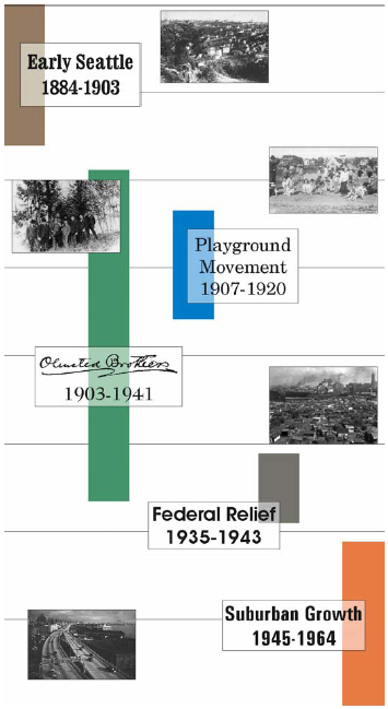
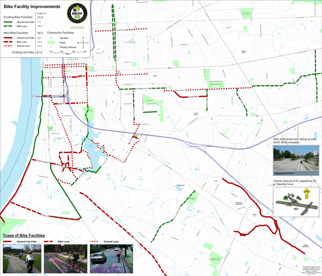
Maps and graphics are integral to any planning process. At their best, they quickly and effectively convey what is often a complicated concept. At their worst, they confuse or mislead the audience, or simply act as window dressing.
Melissa translates data and information into maps and graphics that are clean and straight-forward, that either stand on their own or as part of a document or presentation. She also understands the art of cartography and has worked in GIS for over twenty years, performing spatial analysis, organizing datasets, and creating maps.


